手摇干湿表shouyao ganshibiaosling psychrometer;whirling psychro-meter
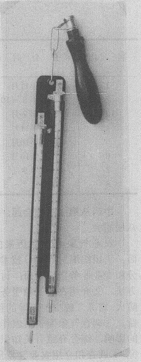
以人手作通风动力的通风干湿表,也称旋转式干湿表 (如图)。它由固定在一个金属支架上的一对干湿球温度表和一个带有转动轴的手柄组成。有的手摇干湿表球部附近加有防辐射罩。
使用时, 先用蒸馏水浸润湿球纱布, 然后伸开手臂将仪器举过头顶, 转动仪器。其通风速度决定于单位时间内的转动次数和温度表球部在空中的转动半径。通风速度必须超过2米/秒以上才能按通风干湿表的方法查算空气相对湿度。
手摇干湿表
手摇干湿表构造简单,使用方便,多用于野外考察。因其防辐射性能较差,如操作不当,会造成较大误差,已很少使用。