近景、特写
近景指的是摄取人物上半部活动的镜头,或拍摄与此相当的景物局部的镜头。近景中环境已居于很次要的地位,它更多地运用于人物的出场和人物间关系的描写。近景是集中观众注意力于人物的主要景别之一。如影片《红衣少女》中的安然,由小孩变为少女时用的是近景。画面是她在跳绳,一下抓住了观众的注意力。
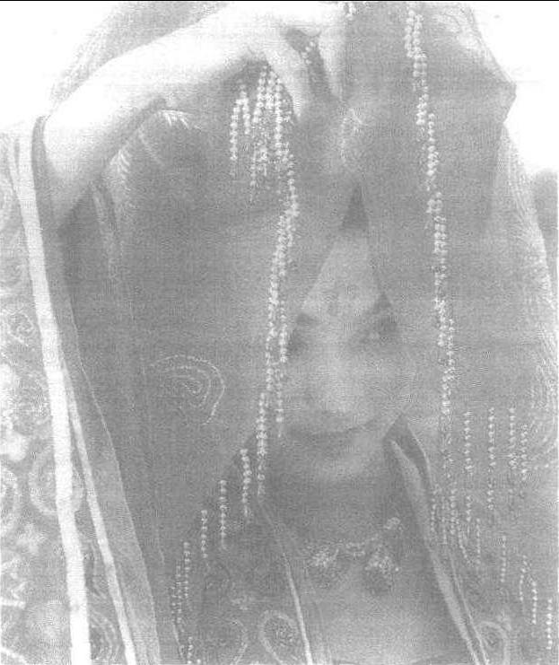
特写指的是在很近距离摄取对象的镜头。通常以人的肩部以上为取景参照,突出人体的某个部位,或强调相应的物件细节、景物细节。
特写镜头画面内容单一、突出,在视觉上比较贴近观众,表现力强。它能使被表现的对象从周围环境中突现出来,造成清晰而强烈的效果,给人以视觉上的冲击力。如美国影片《克雷默夫妇》中有一场戏:这对夫妇已分居多日,一次妻子电话约见丈夫,两人来到 一家小酒馆,相对而坐,这时导演给了他俩每人 一个大特写,脸部的表情,生动地刻画出两人复杂的内心世界。特写有时能赋予物件以生命。如电影《红色娘子军》里的四个银毫子; 电影《祝福》中,祥林嫂因主人不让她上年夜饭,惊惧而失落在地的那条鲤鱼,它们的特写镜头使这两个物件活了起来,带给观众以深沉的思索。特写有时还能起到转换场景,交代情节发展的作用。如影片《闪闪的红星》中,常常以红星来转换场景。如冬子被救以后,镜头从他注视红军头上的红星切入到柳溪乡庆胜利的五星彩灯,既交代了情节,又暗喻了红星是指引冬子前进、成长的象征。
国产电影《红娘》中的特写镜头