吴茱萸fructus evodiae
祛寒药。出《神农本草经》。见《司牧安骥集》。又名吴萸。为芸香科植物吴茱萸Evodia rutaecarpa(Juss.) Benth.、石虎Evodia rutaecarpa (Juss.) Benth.var. officinalis(Dode) Huang及疏毛吴茱萸Evodia rutaecarpa(Juss.) Benth.var.bodinieri (Dode) Huang将近成熟的果实。生用或制用。主产贵州、广西、湖南、云南、陕西、浙江、四川等地。辛、苦,温;有小毒。入肝、肾、脾、胃经。功能温中止痛,降逆止呕。主治:❶脾胃虚寒,与党参、生姜、大枣配伍,如吴茱萸汤(《伤寒论》)。
❷脾肾虚寒、阳虚久泻,与补骨脂、五味子、肉豆蔻等配伍,如四神丸。
❸胃寒呕吐,与生姜、半夏等配伍。
❹脾胃寒湿,肠鸣腹泻,与陈皮、白术、苍术、茴香、乌梅配伍。牛、马15~30克;猪、羊3~9克。为末或煎汤灌服;也可外用,捣碎热熨或研末调敷。阴虚有热及孕畜慎用。本品含挥发油0.4%,其主要成分为吴萸烯(evoden),除具有芳香健胃作用外,还有驱风与抑制肠内异常发酵的功效:另含吴茱萸苦素(rutaevin)、吴茱萸碱(evodiamine)、吴茱萸次碱(rutaecarpine)、羟基吴茱萸碱(hydroxyevo-diamine)等多种生物碱,给兔静脉注射其盐酸盐,具有镇痛作用。醇提取液可致正常兔体温上升,并与四氢-β-茶胺有协同作用。醇或乙醚提取物能杀死体外猪蛔虫及水蛭。煎剂对体外霍乱弧菌有较强的抑制作用。
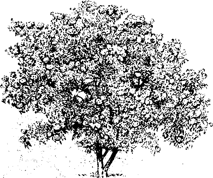
吴茱萸officinal evodia
Evodia rutaecarpa,别名石虎、吴萸。芸香科吴茱萸属落叶灌木或小乔木。染色体数2n=72。高3~10m。小枝紫褐色,被锈色长柔毛,裸芽;奇数羽状复叶对生,小叶5~9,椭圆形至卵形,长6~15cm,背面密被长柔毛,有粗大腺点;聚伞状圆锥花序顶生,花小,白色,花期5~6月。蓇葖果紫红色,有粗大腺点,果期9~10月。产中国长江流域及其以南各地。喜光,略耐阴。喜温暖气侯,不择土壤。多用扦插、埋根及分蘖法繁殖。
吴茱萸适于在公园、庭园中丛植或孤植,也可成片种植。果实及根、叶入药。
同属中常见栽培的有:臭辣树(E.fargesii)和臭檀(E.danielli)等。
吴茱萸
为云香科落叶灌木或小乔木植物吴茱萸、石虎、疏毛吴茱萸的将近成熟的果实。主产贵州、广西、湖南、云南、陕西、浙江、四川等地。辛、苦,热;有小毒。归肝、脾、胃经。有散寒止痛,疏肝下气,助阳止泻之功。主治下列病证:
❶厥阴头痛,寒疝脚气,经寒腹痛。以治巅顶痛甚,干呕,吐涎沫之厥阴头痛为其专长,常与人参、生姜等同用;对寒滞肝脉,寒疝腹痛,常与小茴香、木香、川楝子同用;对寒湿脚气,肿胀麻木者,常与木瓜、槟榔、生姜同用;冲任虚寒,月经不调,少腹冷痛者,又多与桂枝、当归、川芎相配。
❷肝胃不和,脘腹胀痛,呕吐吞酸。可与黄连相配。
❸虚寒泻泄。本品既可温脾散寒,又可助阳止泻,单用煎服就可温多年脾寒;与五味子、补骨脂、肉豆蔻相配又可治脾肾阳虚的五更泻泄。此外,本品研末,醋调,敷足心,可治口疮、高血压。本品辛热,阴虚火旺者慎用。
吴茱萸medicinal evodia
Evodia rutaecarpa(Juss.)Benth.,芸香科,吴茱萸属。落叶小乔木,高5~8m。小枝紫褐色。裸芽。植物体被锈色长柔毛。奇数羽状复叶对生;小叶5~9,椭圆形至卵形,全缘或有不明显钝锯齿,叶下面有粗大腺点。聚伞状圆锥花序顶生;花白色,单性异株,5出数。蓇葖果紫红色,有粗大腺点,无喙。种子黑色,球形,有光泽。分布于长江以南各省区,生于疏林及林缘旷地。种子榨油供工业用。果入药,能解毒、止痛、散寒。叶可提芳香油或作黄色染料。
吴茱萸
芸香科。落叶小乔木。叶对生,小叶卵状长椭圆形,有透明腺点。嫩枝和叶均有软毛。夏季开花,圆锥花序,绿白色。果实裂开,红紫色。中医学上以未成熟的果实入药,性热、味苦辛,有毒,具有温中止痛的功能,主要治疗腹痛、胃寒疼痛、疝痛、呕吐稀涎、泄泻等症。主产新晃、攸县、湘乡、龙山等地。新晃茱萸色碧绿,颗粒饱满,香气浓烈,以质优行销省内外。湖南现年产吴茱萸20~55吨左右。