黑白木刻
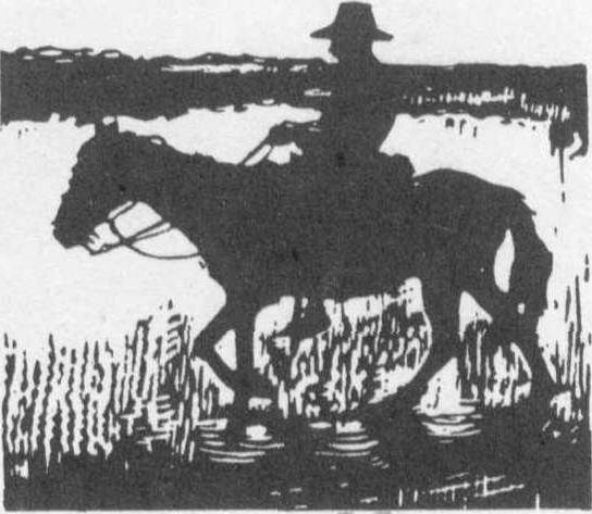
只用黑色油墨或单色印制的木刻。通过黑白对比,点、线、面的粗细、疏密、大小、方圆的穿插变化和刀法的丰富表现来刻画形象,具有强烈、明快、单纯、质朴的美感和独特的艺术魅力。亦
黑白木刻Heibai muke
用黑色或单色油墨印制的木刻,是木刻版画中最基本和重要的表现形式,独具鲜明特色。亦称黑白版画、单色木版画。它的艺术语言要求高度概括、凝练,强调画面的黑白对比,以点、线、面的粗细、大小、疏密、方圆的穿插组织和刀法的丰富变化与力之美来进行创作。具有强烈、明快、单纯、简练、质朴的美感和独特的艺术魅力。黑白木刻更适宜装饰性的造型语言,用变形、夸张的手法加工创造,使作品具有新奇、高雅之格调。初学者应从黑白木刻开始,由于制作简便,也易于普及。但黑白木刻的难度也较高,黑白和刀法所表现出的艺术技巧和趣味极其丰富,这也正是黑白木刻艺术的生命力,更能体现版画家的才智与功力。许多世界著名的版画家终身创作黑白木刻,成为黑白艺术大师,创作出高层次的艺术精品。被人们永久珍爱。
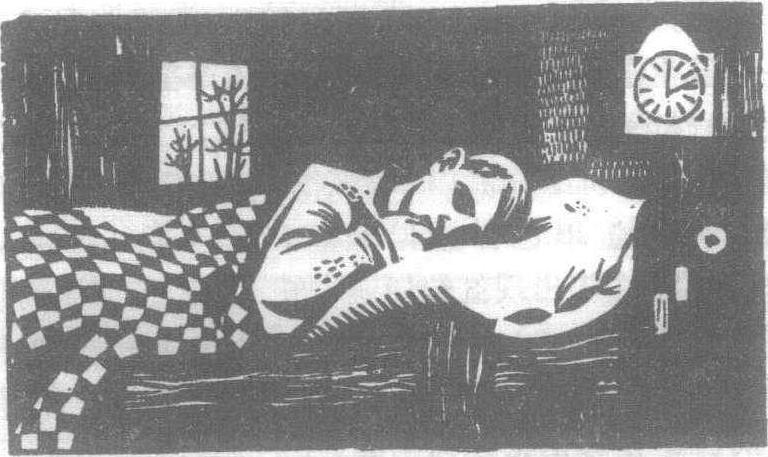
午睡 伊万·苏比奇(南斯拉夫)